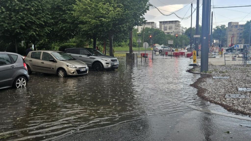
After Paris, a stormy episode crossed the Lyon region this Saturday, May 3 at the end of the day. Around 5:15 p.m., the first impacts were reported in the Monts du Lyonnais. Twenty minutes later, the city of Lyon was in turn affected.
Born near Saint-Etienne, the storm quickly gained intensity, bringing hail in certain sectors. Traffic is to be monitored, especially on the A6 motorway between Lyon and Mâcon, where the bad weather was particularly marked.
In view of the number and power of the Halins, it now remains to be seen the possible damage on vehicles and infrastructure.
-This phenomenon is part of a broader storm degradation which crosses France this weekend, ending the episode of unusual heat observed since Tuesday.
On Saturday evening, Météo France plans a generalized storm episode throughout the Rhône department.
After a lull expected during the night, new thunderstorms are announced this Sunday, again touching Lyon, the Val de Saône, the Monts du Lyonnais, Beaujolais and to the north of Isère.
These thunderstorms could appear in the morning and continue in the afternoon, before fading in the evening, giving way to rainy weather in the region.


