

Published on May 1, 2025 at 7:39 p.m.
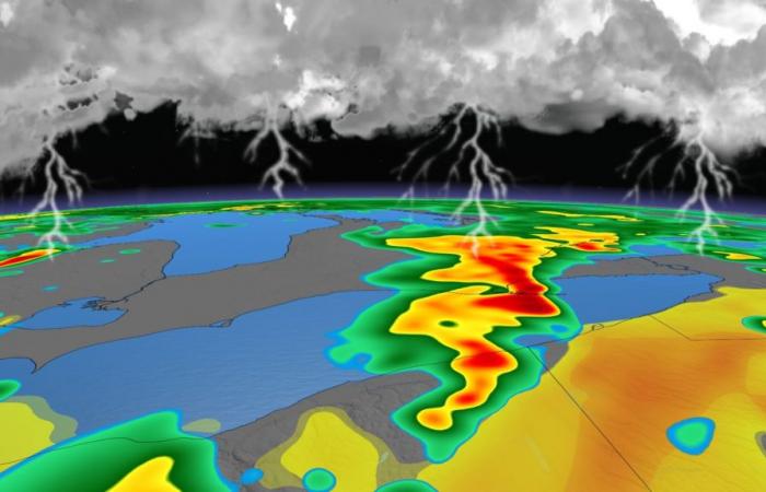
Violent thunderstorms are to be monitored in the far south of Ontario. Forecast.
Violent thunderstorms
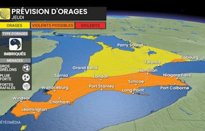
The extreme south of Ontario is affected by a potential for violent thunderstorms this Thursday. Energy is found in large quantities in this region which extends from Lake Érié to Lake Ontario. The main threats are strong winds, torrential rain and big harsh. Recall that for a thunderstorm to be qualified as violent, it must have some elements, including gusts at 90 km/h or more, hailstones of 2 cm or more or a tornado.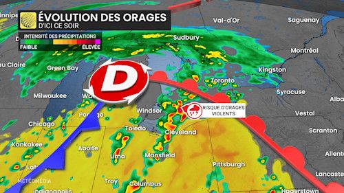
Sectors to be monitored
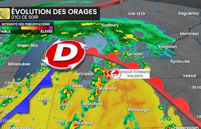
While violent time was observed in our southern neighbors, especially in Ohio, the passage of a front could also raise the energy present in southern Ontario, this Thursday. The risk of violent thunderstorms mainly concerns sectors south of Hamilton, up to Windsor.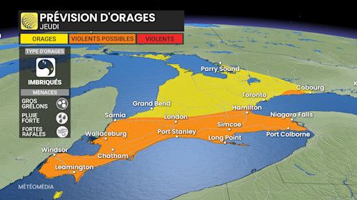
To Quebec
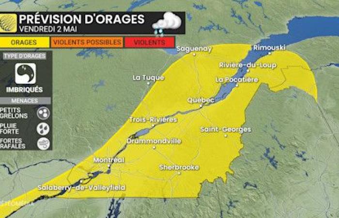
On Friday, thunderstorms are transported to Quebec while a lower risk concerns the south of the province. There would be less energy available than for the neighboring province, but the consequences are not to be underestimated. These storm cells could produce small hailstones, torrential rain and strong gusts.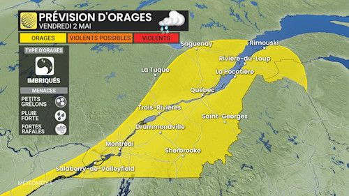
Mercury upwards
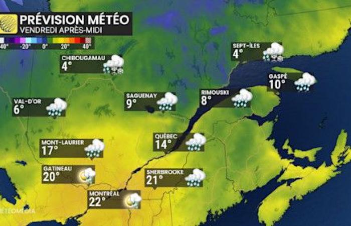
Mercury is likely to climb above the 20 ° C threshold in certain sectors in the south of the province on Friday. In Montreal, a maximum of 22 ° C is anticipated, barely less for Sherbrooke and Gatineau. This heat would be accompanied by an intake of humidity.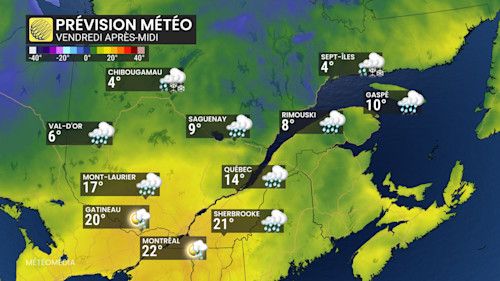
With the collaboration of Bertin Ossonon, meteorologist.

