The lake of Lake Madine
24 km, easy, for VTC or mountain bike
From the greenery on one side, the lake of Madine on the other, cycle paths on almost all of the route … It is the family outing par excellence! “For me, this is number 1 in this area,” agrees Alain Collot. An advantage, From Nonsard : “We can rent bikes on site, and there is a snack”.
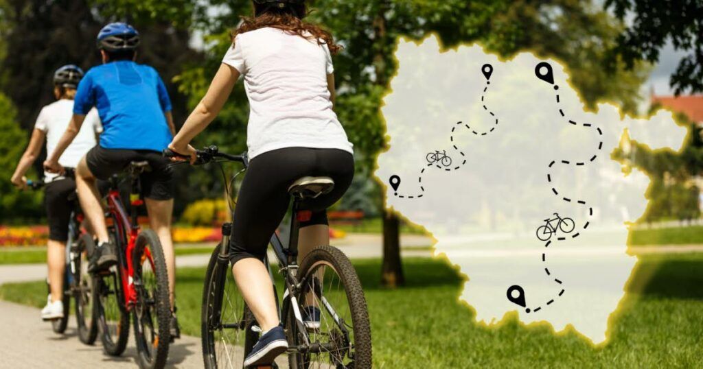
N.B : For each card, green or blue segments represent cycle or greenways; Orange or red portions represent roads.
The route is offered here with a climb to the Montsec hill, which offers a panorama on the lake site, and on which there is a monument commemorating the help of the American army during the 1st World War. Note that the ascent is still stiff. It is possible to make the lake loop without venturing to the hill.
The route of the route of the course (produced by Lor’velo) / The Garmin trace of the course / the open trace of the route
Verdun’s battlefield loop
34 km, easy, accessible for road bikes, VTC, mountain biking
A rather easy loop that allows you to pedal in the footsteps of the soldiers of the Great War … “It is a beautiful route, which takes part of the Velooute La Meuse in Velo (EV 19) and relatively quiet roads”, comments Alain Collot.
The route is advised from Verdun, and offers points of interest throughout the route. The marina (km 0), the bayonet trench (km 11), the ossuary then the fort of Douaumont (km 12 to 15), the Verdun memorial (km 18), the Fort de Vaux (km 23), the Souville lion (km 28) … The ride can easily be combined with a visit to a historic place.
The route of the route of the course (produced by Lor’velo) / The OpenRunner trace of the route
The Thionville loop
48 km, easy, accessible for road bikes, VTC, mountain biking
Despite the slightly larger mileage than the previous two, this very flat course remains accessible to beginners.
“It is a very beautiful loop, with various landscapes. It takes the blue track, which is a pillar in terms of cycle paths in the region, ”notes Alain Collot.
From Thionville, the flea tower (which houses the municipal museum) from the first hectometers is worth a look, just like the town hall. Several locks, war witnesses (a fort of the Maginot line at the end of Thionville, a commemorative monument of the Second World War in Koenigsmacker) stand on the course. The nautical base of Guénange after 30e kilometer can be an opportunity to try stand up paddle or sailing! And the end of the course pays tribute to the steel past of Lorraine with a view of the Uckange High Boves.
The route of the route of the course (produced by Lor’velo) / The Garmin trace of the course / the open trace of the route
The Etival-Clairefontaine loop, by the Col du Donon
69 km, difficult, preferably road bike
“Difficult, but superb! “Warnings Alain Collot. The enthusiast advises to make this loop by taking, from Etival, the management of Moyenmoutier then Senones. This, so as not to settle the steepest climbing passages!
The climb to the Donon by the Moussey forest road still represents a coast of 4% on average, over 10 km, with a passage to 10% over 500 m. But the discovery of the Don will largely reward the most reckless.
The descent to Raon-sur-Plaine after the Donon will then offer a few passages “to 12 then 16%”. End your belts … And more seriously, wear a helmet, as always!
The route of the route of the course (produced by Lor’velo) / The Garmin trace of the course / the open trace of the route
The Saintois loop, by the Basilica of Sion (or not!)
50 km, difficult, VTC recommended
Here is a loop that “offers an almost permanent view of the Sion hill”, reports Alain Collot. It includes a little relief (about 450 m of positive cumulative elevation).
Its configuration above (50 km) does not go up to the Basilica of Sion, but you can make a hook to access it. For this, once arrived in Chaouillet (km 39), take rue de la CoLLINE (materialized by a Saxon panel 1.8 – Sion 2.5). Then there is only one small country road to Saxon, before the slope rises a few hectometers to the basilica.
In the first part of the course, do not miss a look at the castle (private) of Vandeléville at 20e km, and that of Thorey-Lyautey, which can be visited, 10 kilometers further.
The route of the route of the course (produced by Lor’velo) / The Garmin trace of the course / the open trace of the route
The Peltre and South Messin loop
33 km, easy, mountain bike or VTC recommended
For the Messins – and the others – here is “a very beautiful walk, with a very pleasant because varied course”. We pedal sometimes in the village, sometimes in the forest, and the points of interest are multiple. In Verny (km 9), Fort Wagner built by the Germans in full annexation deserves in particular that we dwell on it.
-“There are a few passages with a rustic coating,” warns Alain Collot. This is also what makes the charm of this loop! “In VTC, it goes. But you should not engage in road bikes, ”explains the enthusiast. Note that a small portion (Pouilly-Fleury) is traveling on the road, and therefore requires a certain vigilance.
The route of the route of the course (produced by Lor’velo) / The Garmin trace of the course / the open trace of the route
The Moselle loop, from Nancy
88 km, difficult, recommended VTC.
A “difficult” level due to the high mileage of this route. But this one does not present, in itself, no big obstacle.
“It’s a classic, a must -by”, in the opinion of Alain Collot. The Meurthe and its locks, the mass of mass, the Cathedral of Toul, the medieval village of Liverdun (for a Madeleine break?): The walk allows you to discover several jewels of the Meurthe-et-Moselle
On the course side, “there is a passage which remains a little complicated because we are on the road between Liverdun and Pompey, but everything else is in green way”. Watch out for signaling, not always clear! It is advisable to study the “roadbook” well and to bring a GPS counter or other benchmark …
The route of the route of the course (produced by Lor’velo) / The Garmin trace of the course / the open trace of the route
The Remiremont loop, by the Col de Morbieux (or by the page of the page)
53 km by the Morbieux pass or 79 km by the Col du Page; Difficult, recommended road bike
It is well known: the Vosges offer a magnificent playground to cyclists, provided they have a little training. The Remiremont loop is no exception to the rule.
The route indeed takes two very beautiful green ways (that of Haute-Moselle and that of the Moselotte), but you have to climb a pass to switch from one to the other in the middle of the route!
In its shortest configuration, that of 53 km, it is the cervix that must be climbed, from Ramonchamp (5.4 km at 6%, with 500 m at 10% slope).
In a longer configuration, that of 79 km, it is the page of the page from Bussang which will stand on your road: 6.7 km at 5.4%, with 500m to 8% slope. All the information on this variant here.
The route of the route of the course (produced by Lor’velo) / The Garmin trace of the course / the open trace of the route
The loop of the 4 rivers, from Nancy
47 km, average difficulty, is suitable for all types of bikes
Rivers that mark the majority of the route, greenways or little -frequented country roads: the loop of the 4 rivers (Meurthe – Amezule – Seille – Grémillon) breathes tranquility.
After having run along the Meurthe, we take the greenway of the Grand Crown to Brin-sur-Seille, which is very pleasant and on which there are many explanatory panels on the history of the villages crossed, and their points of interest.
A small passage by road, from Laître-sous-Amance to Cerville, and a slight relief (317m of cumulative elevation) justify the “average” difficulty, but the route has no major difficulty.
The Road Booklet (produced by Lor’velo) / The Garmin trace of the course / the OpenRunner trace of the route
From Pompey to Hohneck, in several steps
181 km, variable difficulty depending on the number of days, VTC recommended
To conclude this top 10, here is an itinerant hiking idea. The “La Meurthe à Vélo” journey allows you to discover part of the Meurthe-et-Moselle and the Vosges.
You will successively go through several essential cities in Lorraine (Nancy, Lunéville, Baccarat, Saint-Dié-des-Vosges). The final stage of Saint-Dié to the Hohneck by the Col de la Schlucht requires good physical condition, but it is optional.
Lorvelo (Alain Collot, Philippe Bonneval), in cooperation with the Vélo Mobility Active Grand Est association, the tourist offices and local authorities concerned, cut the route into 7 stages. Several of them can be merged according to your form and the number of days that you intend to allocate to this journey. For the return trip, we advise you to take your bike in a TER between Saint-Dié and Nancy.
The Road Booklet (produced by Lor’velo)
And also
New on the Lorvelo website, while the season conducive to bicycle walks begins: a section dedicated to cycling loops to explore Lorraine was put online at the end of April. It includes, in total, about fifty routes. All in saddle …


